


By Tom Latek
Kentucky Today
Kentucky’s spell of warm weather will soon be a thing of the past, as the National Weather Service is forecasting that there will be a definite chill in the air by the time Halloween rolls around next week.
The five weather service offices that cover Kentucky, from Paducah in the west to Charleston, West Virginia in the east, are all warning that we can expect temperatures to drop below freezing anytime between Monday and Wednesday nights.
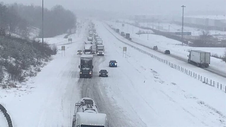
They say we can expect substantial rain this weekend, which will help alleviate the drought conditions in much of Kentucky. However, a cold front will sweep through the state, shutting off the rain but allowing nighttime lows to drop into the 20s.

The National Weather Service office in Paducah says breezy conditions on Monday will keep he frost potential somewhat uncertain Monday night. “However, more certain is the potential for a hard freeze as most of the area drops well into the 20s both Tuesday and Wednesday nights, effectively ending the growing season.”
Forecasters in Louisville state: “The unseasonably chilly temps will continue through Thursday morning, with daily highs only in the 40s and lows in the upper 20s, more typical of the Winter Solstice than All Saints’ Day!”
Overall, there is a more than 60% chance of much below normal temperatures during that time in the state, according to the Climate Prediction Center’s six-to-ten-day outlook.
The Jackson weather office notes the chances of below freezing temperatures (lower than 32 degrees) for cities in eastern Kentucky include 54% in Jackson, 59% in Pikeville, 64% in Prestonsburg, 84% in Morehead and 94% in both London and Somerset.
No frost or freeze advisories, watches or warnings have been issued as of mid-day Friday, but you can expect to see them on Sunday or Monday.
The good news is weather service forecasters say temperatures should begin to modify later in the week.